Product code: IM4164
Available quantity 1
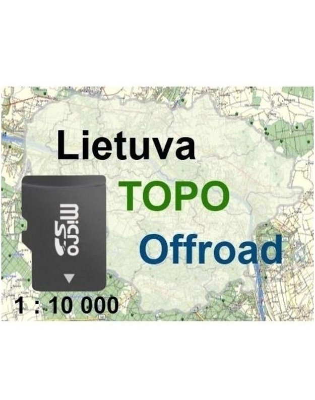
Lithuania TOPO Offroad (microSD) – a detailed topographic GPS map of Lithuania for Garmin navigators with NT format support: over 170,000 km of roads, trails, buildings, contour lines and depth data for more than 140 lakes. Ready to use – just insert the card.
| Warranty: | 24 mėn. |
Lithuania TOPO Offroad is a detailed topographic map of Lithuania for off-road enthusiasts, cyclists, hikers, anglers, mushroom pickers and other outdoor lovers. The map is preloaded and unlocked on a microSD card, so no activation or download is needed.
The map is based on 1:10,000 topographic maps and orthophotos, using GDB10LT and State Forest Service cadastre data. It includes over 170,000 km of roads, more than 24,000 settlements and place names, over 105,000 km of rivers and canals, buildings, contour lines and walking and cycling paths.
Bathymetric data for more than 140 Lithuanian lakes, the Curonian Lagoon, Kaunas Reservoir, part of the Nemunas and the Baltic Sea – with fairways, buoys and depth contours.
Suitable ONLY for Garmin GPS navigators that support NT format maps and have a microSD (or SD) slot. Not for computers, phones, tablets or other brands. Because the map is tied to the card, it can be used in any compatible Garmin device. Not intended for car navigation.
| Product | Lithuania TOPO Offroad GPS map |
| Media | microSD card (unlocked) |
| Compatibility | Garmin navigators with NT format support and microSD/SD slot |
| Base scale | 1:10,000 |
| Road network | Over 170,000 km |
| Water features | Over 105,000 km of linear features |
| Depth data | More than 140 lakes, Curonian Lagoon, Kaunas Reservoir |
| Warranty | 24 months |
Does the map need activation?
No, it is preloaded and unlocked on the microSD card – just insert it into your navigator.
Is it compatible with my Garmin device?
It works with Garmin navigators that support NT format maps and have a microSD or SD slot. Older models without NT support (e.g. eTrex Legend / Vista without Cx, GPSMAP 60 / 76 without x) are not compatible.
Can I use it for car navigation?
Not recommended: routing does not account for one-way streets, speed limits or address numbering.
Does it work on phones or computers?
No, the map is for Garmin GPS navigators only.
Keywords: Lithuania TOPO Offroad, Lithuania GPS map, Garmin map, topographic map, lake depth map, microSD map
| Technical specification | |
|---|---|
| Memory Card Type | microSD |
| Product Type | GPS map |
DPD courier to your door – from €4.22.
DPD parcel lockers and pickup points – from €3.62.
Items from our own warehouse are delivered within 2 business days, items from our partners’ warehouse within 3–4 business days. Orders placed on a business day before 14:00 are processed the same day. The estimated date is shown next to the “Add to cart” button.